Why Ships Don't Sail in Straight Lines: Great Circles, Weather and the Art of Routing
Track a ship crossing the Pacific and its path on a standard map looks oddly curved, arcing far to the north of the "straight" line between ports. The ship is not lost. It is following the real geometry of the Earth — and a set of invisible rules that govern where vessels actually sail.
The great circle: geometry beats the map
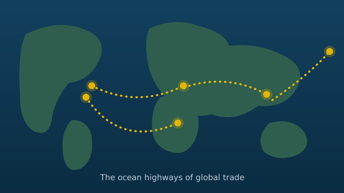
Flat maps lie. Most world maps stretch the globe onto a rectangle, distorting distances — especially far from the equator. On the actual sphere, the shortest path between two points is a great circle: the arc you would get by stretching a string between them on a globe. Between ports at similar northern latitudes, that arc bows toward the pole, which is why Pacific crossings hug the northern ocean and appear "curved" on the map. The savings are real: great circle routing can cut hundreds of kilometers from a long crossing.
Why ships still deviate from the great circle
Pure geometry is only the starting point. Actual routes are shaped by several other forces:
Weather. The shortest route through a storm is rarely the fastest or safest. Modern weather routing services continuously optimize each voyage against forecast winds, waves, and currents — a longer track in calm seas often burns less fuel and spares cargo and crew. Avoiding heavy weather also prevents container losses, one of the industry's persistent risks.
Currents. Riding a favorable current adds free speed; fighting one wastes fuel. Route planners treat the ocean's rivers as part of the calculation.
Land, depth, and ice. Great circles that cross continents, shallow banks, or ice limits obviously yield to reality. Seasonal ice edges push northern routes south in winter.
Traffic rules. Busy waters are organized like highways. Traffic Separation Schemes — internationally adopted one-way lanes — govern straits and congested coasts, and ships must follow them. Near ports, vessel traffic services direct movements much as air traffic control does.
Canals, tolls, and risk zones. Sometimes the "route decision" is commercial: pay a canal toll or sail the long way; transit a risk area with extra insurance or divert around it. These choices, multiplied across thousands of ships, are what visibly redraw global traffic maps during major disruptions.
Slow steaming: when the best speed is not full speed
Routing includes a speed decision. Fuel consumption rises steeply with speed, so sailing somewhat slower — "slow steaming" — can cut fuel use dramatically per voyage. Carriers balance fuel savings against schedule commitments and cargo urgency; environmental regulations measuring carbon intensity push in the same direction. The chosen route and the chosen speed are optimized together.
The modern bridge: navigation as information work
Today's navigators blend satellite positioning, electronic charts, radar, and identification systems that display surrounding traffic in real time. Voyage plans are prepared and checked before departure — every leg, every hazard, every contingency — and updated continuously. The romance of the sextant survives as backup skill; the daily reality is closer to managing a data-rich control room that happens to be moving at sea.
Conclusion
A ship's track is a negotiation between geometry, physics, economics, and law. The elegant curve you see on a tracking site is the visible result of that negotiation — the shortest path not on the map, but through the real world.
Sources & Further Reading
- UNCTAD — Review of Maritime Transport: unctad.org
- International Maritime Organization (IMO): imo.org
- World Shipping Council: worldshipping.org